

 by
by 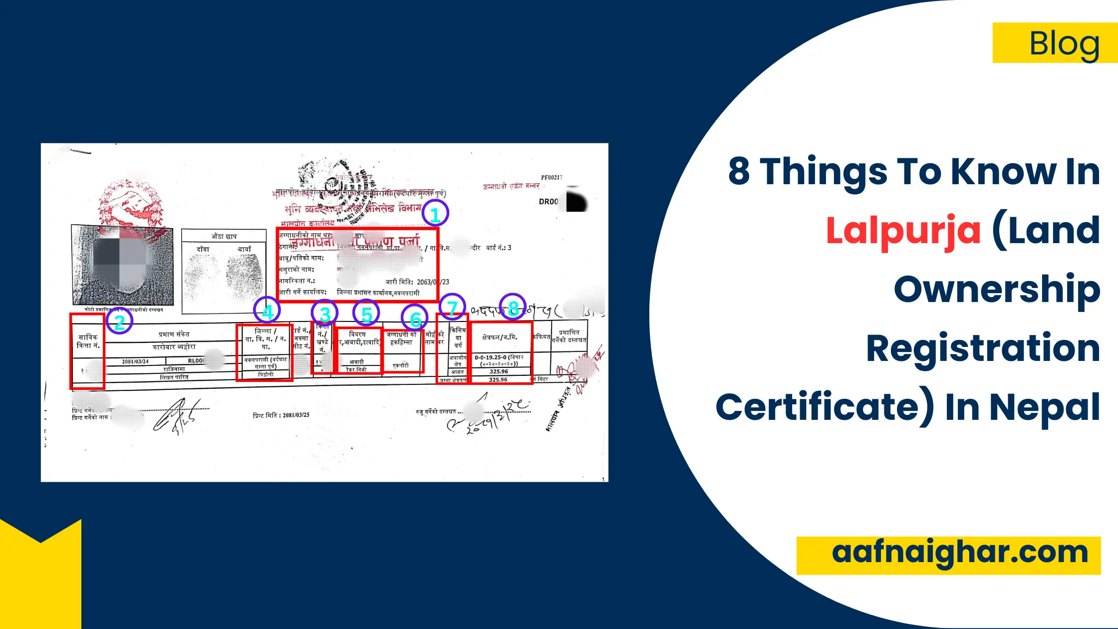
We are very familiar with the common word ‘Lalpurja’. Lalpurja in English is ‘Land Ownership Registration Certificate‘. Malpot Office under the Department of Land Management and Archive of Nepal Government provides the Land Ownership Registration Certificate as a proof of land owned by a person or organisation.
Although we may have Land Ownership Registration Certificate, we may not know every information in the certificate. It is an important document of our property ownership, so it is very important to know everything about Land Ownership Registration Certificate.
Let’s discuss the 8 points in Land Ownership Registration Certificate:
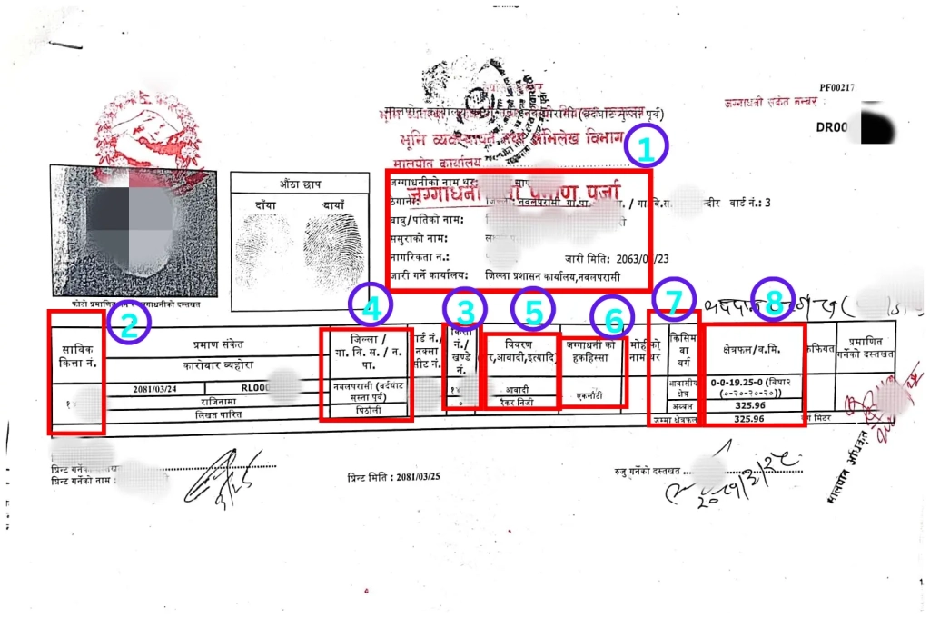
- Land owner details: There is a photo of Land Ownership Registration Certificate shown above for example. In section 1 with the red square, there is the detail of the Land owner according to the Nepali Citizenship The land owner details are the name, address, father or husband’s name, father-in-law’s name in case of married women. There is also a citizenship certificate number, date of issue of citizenship and name of issuing office.
- Previous Plot number (Sabik Kitta Number): 2nd number is the previous plot number (Sabik Kitta Number) of the land. Previous plot number (Kitta number) means the Kitta number of the previous plot from which the present plot was divided from. It may also be the plot of this land before present plot number
- Plot number (Present Kitta number): 3rd number shown in the photo is current plot no(Kitta number) of the land. Kitta number is the unique number of the land which identifies the land. In any ward of the municipality or rural municipality, each plot has a unique Kitta number . Kitta number is the only way to locate the land on the land map.
- Land address: 4th number is the land address. Address written is in which ward of Municipality/rural municipality or Sub / Metropolitan city is the land located. We may see the previous ward number or VDC or municipality even after the formation of a new municipality or rural municipality in the location of land. So, we should know the previous name and ward of our land location.
- Land details: On 5th number, we will see the land details. For example, we may see- a. Aabadi/Raikar Niji b. Guthi c. Sarbajanik/ Raikar etc. Raikar (Raikar Jagga) means the land owned by paying taxes to the state. Sarbajanik land is land for public purposes such as a monastery, well, pond, monastery, mosque or owned by any public institution.
- Owner’s right & share: On 6th number, we will see the owner’s right and share. That means if the land is solely owned by a single owner or owned jointly in the name of more than one person. For example, if the land is registered in the name of 2 people, then the details of the land owners on the 1st place contains the details of both of them and the share for the land is joint and equal for both owners.
- Land Class (Jagga Barga): Number 7 is the land class or division. According to Land Use Regulations, 2079,(Bhuupayog Niyemawali ,2079) under the title Land Classification (Jagga Bargikaran) land has been classified into 10 headings. In the classified headings, there are agricultural, residential, commercial, industrial, mining and mineral, forest, river, lake, wetland, public use, cultural and archaeological importance and other areas designated by the Government of Nepal as required. So, in Lalpurja on 7th number, we will see the class of our land as classified by our local level government. The land may be residential,agricultural,industrial etc.
To read more about land classification (Jagga Bargikaran) click this link:
- जग्गाको क्षेत्रफल: The 8th place in the above photo of Lalpurja is the area of land. If the land is in hilly areas, the unit of area is ropani-ana-dam-paisa, while in the case of land in terai, the unit of area is bigha-katha-dhur-kanuwa. For example,on Land Ownership Registration Certificate, the area of a plot of land is 1-2-3-1 ropani, it means that the area of land is 1 ropani, 2 annas, 3 paisa and 1 daam. Also, Lalpurja has an area in square metres. The above land area is 598.163 square metres.
If you need to change the area of land like Dhur to Aana, square metre to Aana or Dhur (Square metre to Aana, Square metre to Dhur), you can click the link below:
नेपाली क्षेत्रफल रुपान्तरण (Area Of Land Converter In Nepal)
Other informations:
- Name of Mohi: If the land has Mohi, the name of Mohi is also in Lalpurja.
- Signature of Certifying Officer: At the end is the signature of the certifying officer.


छलफलमा सामेल हुनुहोस्